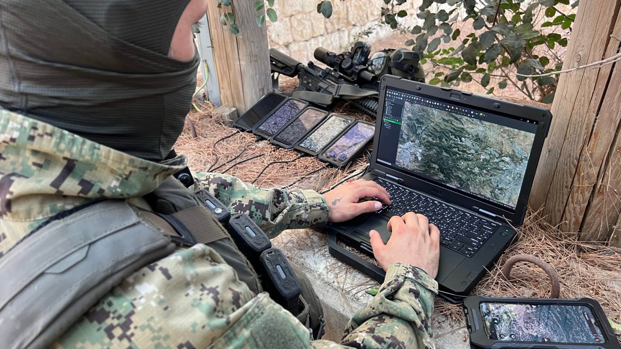
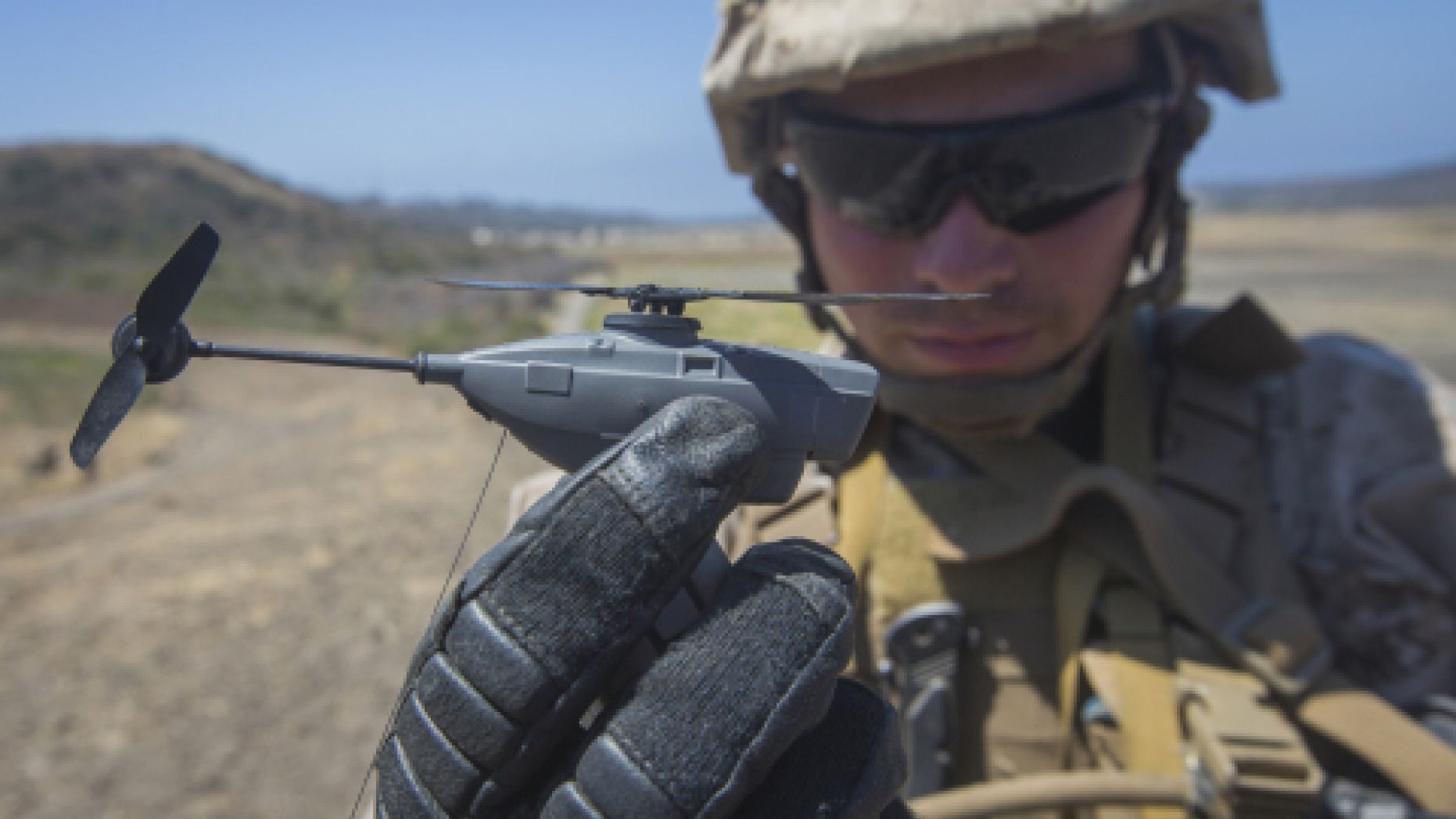
The Taurus system allows IDF field soldiers to launch their own drones and quickly generate real-time terrain maps.
By Hezy Laing
The Taurus 3D Terrain Intelligence System, developed jointly by the IDF and Asio Technologies, is a cutting-edge tactical intelligence platform designed to enhance the IDF’s battlefield awareness and operational planning.
Known within the IDF as “Noam”, Taurus is a mobile, real-time terrain analysis tool that generates photo-realistic 3D models of enemy terrain using data collected from uncrewed aerial systems (UAS) and other sensors.
This system enables battalion-level intelligence officers to visualize complex terrain in high resolution, identify enemy positions, and plan maneuvers with pinpoint accuracy.
Taurus integrates data from multiple sources—including drones, satellites, and ground sensors—to create a dynamic, interactive map that supports target generation, route planning, and threat assessment.
It also allows for autonomous decision-making in the field, reducing reliance on centralized command structures and speeding up the operational tempo.
In October 2025, Asio Technologies announced the delivery of hundreds of upgraded Taurus systems to IDF frontline units.
These systems are now deployed across various combat brigades, providing commanders with a digital “nerve center” for real-time situational awareness.
The Taurus platform is also interoperable with other IDF command-and-control systems, ensuring seamless integration across units.
The Taurus system reflects Israel’s broader strategy of leveraging advanced technology to maintain a qualitative edge in modern warfare.
By combining geospatial intelligence, AI-driven analytics, and intuitive user interfaces, Taurus empowers IDF units to operate with greater precision, speed, and autonomy in complex environments.


